GIS as a Communication Tool — Lightweight WebGIS for Citizen Workshops
GIS has long been seen as a professional and complex technology — both technically and conceptually. While WebGIS has made it more accessible, it still remains challenging for non-experts, especially for citizens who need to learn, participate, and produce meaningful outputs within a short workshop.
At the same time, local governments — one of the largest GIS user groups — are looking for new ways to communicate and co-create with their citizens. From disaster prevention planning to urban redevelopment, the demand to make maps and data a medium for dialogue, rather than a technical barrier, keeps growing.
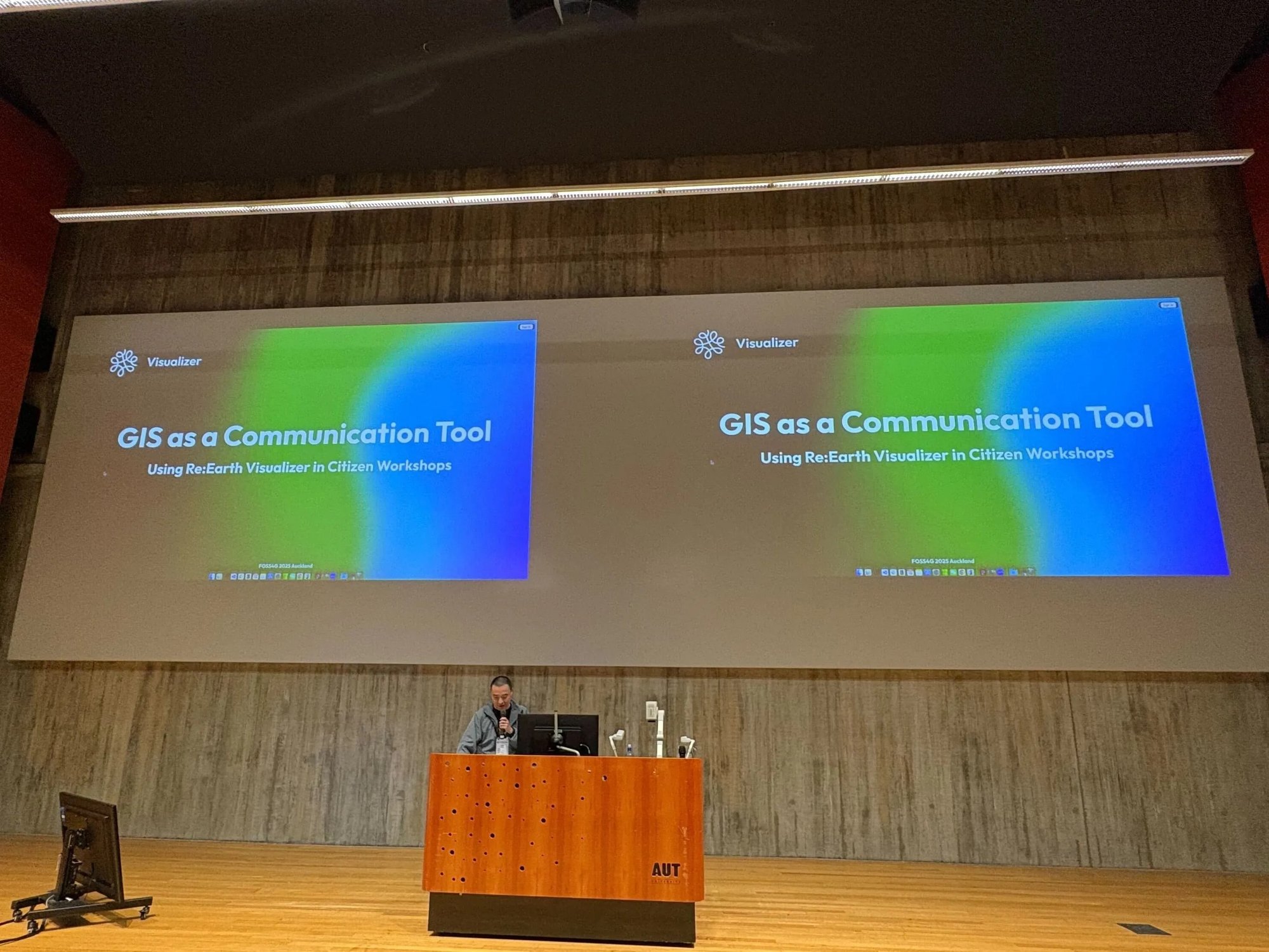
In this talk I shared several case studies from our team's ongoing attempts to design lightweight, intuitive WebGIS apps for citizen-participation workshops — built on Re:Earth Visualizer and Re:Earth CMS, the open-source tools our team helps maintain. The focus is less on the tooling and more on what it takes to turn spatial information into a medium people can actually engage with: collaboration, storytelling, and civic engagement.
---
layout: talk.njk
title_zh: "GIS 作为沟通工具 —— 面向市民工作坊的轻量 WebGIS"
title_ja: "コミュニケーションツールとしての GIS — 市民ワークショップのための軽量 WebGIS"
title_en: "GIS as a Communication Tool — Lightweight WebGIS for Citizen Workshops"
year: 2025
event: FOSS4G 2025
eventUrl: https://2025.foss4g.org/
role: speaker
location: 奥克兰,新西兰
location_ja: オークランド、ニュージーランド
location_en: Auckland, New Zealand
cover: /images/talks/foss4g-2025-gis-as-communication/hero.jpg
description: "GIS is still often treated as a professional, technical domain — but local governments increasingly need it as a medium for dialogue with citizens. Case studies from our team's attempts to design lightweight WebGIS apps that fit into short, real-world citizen-participation workshops."
videos:
  - url: https://www.youtube.com/watch?v=tJhDf9B2ib8
    title: 官方录像
    title_ja: 公式録画
    title_en: Official conference recording
  - url: https://www.youtube.com/watch?v=eCD8hK-htOw
    title: 观众席视角(同事拍摄)
    title_ja: 観客席からの撮影(同僚が撮ってくれたもの)
    title_en: Audience view, filmed by a colleague
workTags:
  - talk
---

<div lang="zh">

GIS 长期以来都被看作一种偏专业、偏复杂的技术——无论是技术层面还是概念层面都是如此。WebGIS 让门槛降低了一些,但对非专业用户、尤其是需要在一场短时间的工作坊里学习、参与、并产出有意义结果的市民来说,依然不容易。

与此同时,作为 GIS 主要使用者之一的地方政府,正在不断寻找新的方式与市民沟通和共创。从防灾规划到城市更新,把地图和数据变成「对话的媒介」而不是「技术门槛」的需求,正变得越来越强。

在这次演讲里,我介绍了我们团队为市民参与工作坊设计轻量、直观 WebGIS 应用的几次尝试。这些尝试都搭建在我们团队共同维护的开源工具(Re:Earth Visualizer / Re:Earth CMS)之上,但重点不在工具本身,而在于:要把空间信息变成市民真正能参与进来的媒介,需要什么样的协作方式、什么样的讲述方式,以及怎么让市民真的开口。

</div>

<div lang="ja">

GIS は長らく、技術的にも概念的にも、専門的で複雑なテクノロジーとして見られてきた。WebGIS によってアクセスは広がったものの、非専門家、とりわけ短時間のワークショップで学んで参加し、意味のあるアウトプットを出さなければならない市民にとっては、依然としてハードルが高い。

一方、GIS の主要ユーザーである地方自治体は、市民とのコミュニケーションや共創のための新しい方法を模索している。防災計画から都市再開発まで、地図やデータを「技術的な壁」ではなく「対話のためのメディア」にしたい、という声は強まる一方だ。

この登壇では、市民参加ワークショップ向けに軽量で直感的な WebGIS アプリを設計してきた、私たちのチームの試みをいくつかの事例として紹介した。これらは、私たちが一緒に開発しているオープンソースのツール(Re:Earth Visualizer / Re:Earth CMS)の上に組み上げられているが、話の中心はツール自体ではない。空間情報を、人々が実際に関われるメディアに変えていくために何が要るのか──どう一緒に作るか、どう語るか、どうすれば市民が実際に口を開いてくれるか。その設計の話である。

</div>

<div lang="en">

GIS has long been seen as a professional and complex technology — both technically and conceptually. While WebGIS has made it more accessible, it still remains challenging for non-experts, especially for citizens who need to learn, participate, and produce meaningful outputs within a short workshop.

At the same time, local governments — one of the largest GIS user groups — are looking for new ways to communicate and co-create with their citizens. From disaster prevention planning to urban redevelopment, the demand to make maps and data a medium for dialogue, rather than a technical barrier, keeps growing.

In this talk I shared several case studies from our team's ongoing attempts to design lightweight, intuitive WebGIS apps for citizen-participation workshops — built on Re:Earth Visualizer and Re:Earth CMS, the open-source tools our team helps maintain. The focus is less on the tooling and more on what it takes to turn spatial information into a medium people can actually engage with: collaboration, storytelling, and civic engagement.

</div>

<div class="gallery">
  <img src="/images/talks/foss4g-2025-gis-as-communication/hero.jpg" alt="FOSS4G 2025 奥克兰大会现场演讲">
</div>